
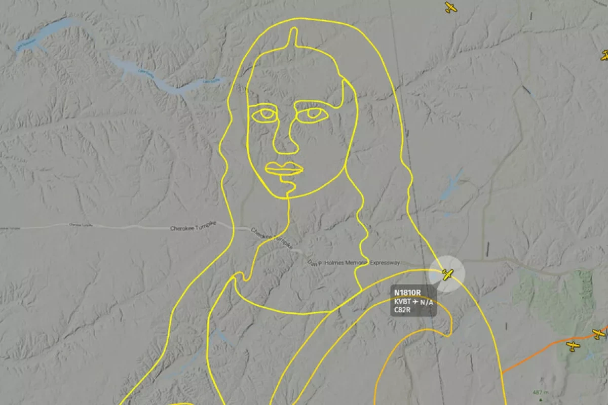
An American pilot created an image of the Mona Lisa in the sky over the United States by plotting the aircraft’s flight
The pilot had planned the route in advance so that the aircraft’s trajectory would replicate the recognizable outline of Leonardo da Vinci’s painting. As the flight progressed, the contours of the famous portrait, including its finer details, gradually appeared on the map.
The aircraft covered approximately 56 kilometers. More than 73,000 people tracked its movements in real time via AirNav Radar’s 3D map. The service itself confirmed that the aircraft, registered as N1810R, followed a carefully planned route designed to form the outline of the Mona Lisa.
By Jeyhun Aghazada