BAKU, Azerbaijan, October 15. Azerbaijan’s
"Agricultural Artificial Intelligence" project uses regular data
from 180 weather stations across the country, satellite and drone
imagery, and readings from soil moisture sensors, Deputy
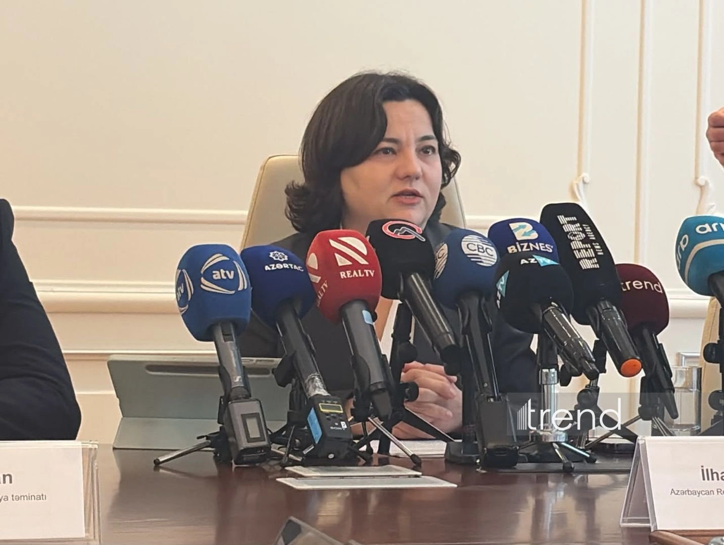
Agriculture Minister Ilhama Gadimova said today at a press
conference dedicated to the project’s implementation and tech
innovations in agriculture, Trend's correspondent reports from the event.
She said the project’s database is compiled from multiple
sources. "Satellite images taken at regular intervals are analyzed.
When necessary, drone imagery is also analyzed, and field
inspections are carried out to verify data. Regular data is
collected from 180 weather stations across the country. A number of
soil moisture sensors have also been installed, and data is
continuously collected from them," she said.
According to Gadimova, the results of soil agrochemical analyses
are another source used to develop AI solutions. "Analyses are
conducted after the coordinates of the land plots are identified,
and the results are entered into the systems. These agrochemical
analyses provide information about soil conditions," she said.
She noted that data submitted by farmers also forms part of the
project. "Farmers declare information about their crop production
and livestock activities. Both data collected over several years
and new information submitted periodically serve as sources for the
artificial intelligence project," Gadimova said.
The deputy minister added that the systems incorporate not only
rules reflected in agricultural scientific literature but also data
specific to Azerbaijan’s regions.